Große Klammspitze (1924 m)
Ammergauer Alpen

| Details | |
|---|---|
| Type: | Medium mountaineering route (T3) |
| Ascent: | 3:00 h |
| Descent: | 2:30 h |
| Elevation: | 1250 m vert. |
| Distance: | - |
| Season: | End of May - Early October |
| Notes: | Not recommended after snowfall or strong rainfall |
| Danger: | Alpine Environment with Alpine Dangers |
| Weather Forecast: | 1)wetter.com, 2) DAV-Bergwetter |
Route: Parking area Schloss Linderhof (900m) – Brunnenkopfhütte (1602m, 1:45h) – Große Klammspitze (1924m, 3:30h) – Descent same as Ascent
Character: The Große Klammspitze is an alpine mountaineering route of medium difficulty (T3). This hike requires experience and a good head for heights.
Drive to base: Address for car navigation: Linderhof 12, 82488 Ettal (Parkplatz Schloss Linderhof)
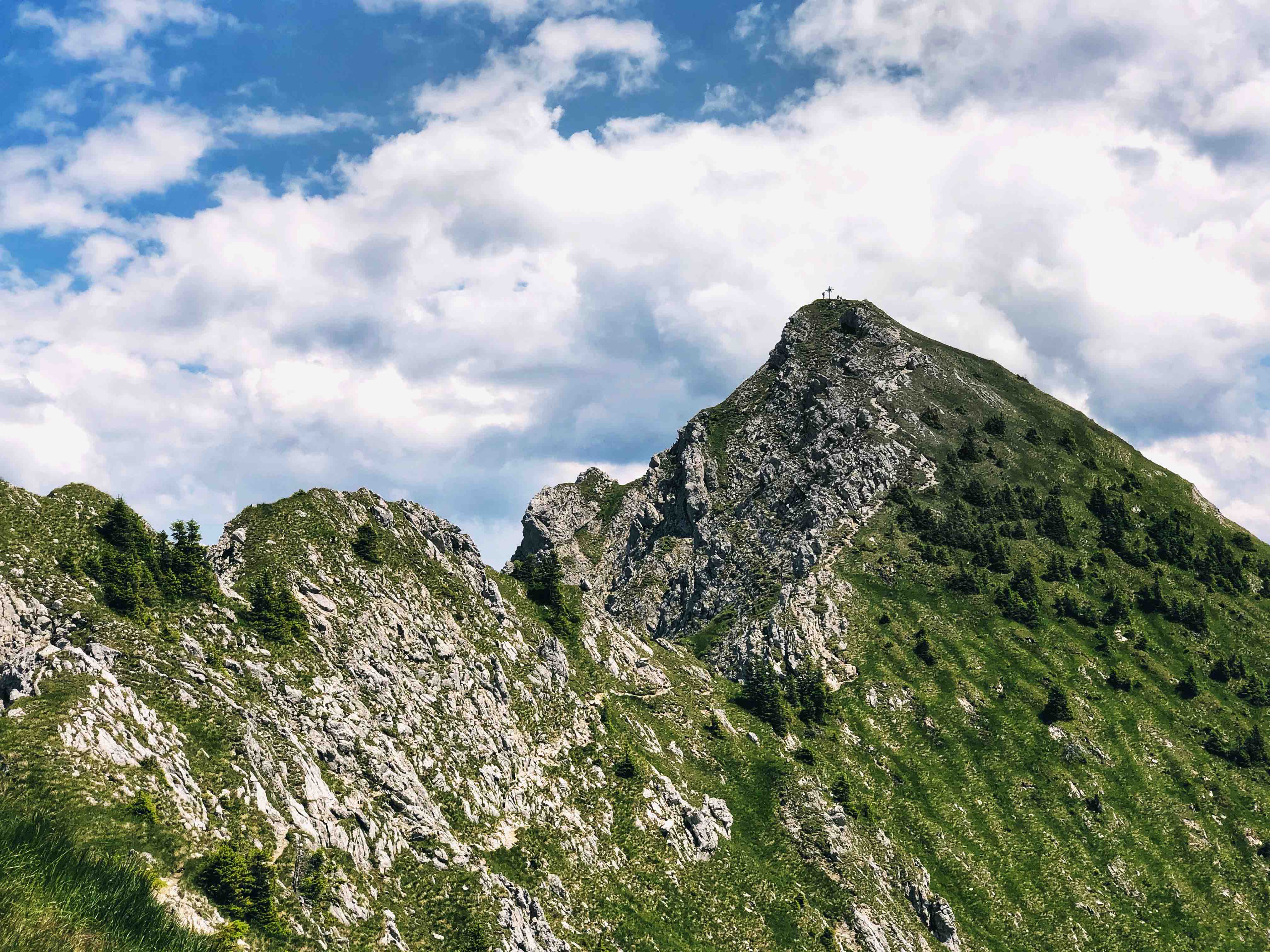
Hike: From the Linderhof parking area we follow the signs to Brunnenkopf. We follow the signs into the forest and hike on a broad forest path / gravel road. Shortly after we follow another sign and take a right into the forest. After 1h to 1.5h we reach the Brunnenkopfhütte which lies at an elevation of 1602m. The path to the hut is very broad, and safe. The hike form the Linderhof parking area to the Brunnenkopfhütte is easy and well suited for families or less experience hikers. Because of that it is also a quote busy route. You will have already a great view from the hut. From the hut you can hike to the Brunnenkopf (20min). Or skip the Brunnenkopf and take a path left and follow the signs to Klammspitze. The trail starting at the hut leading to the Klammspitze is significantly narrower and at some parts steeper. Here is experience necessary. After significant volumes of rainfall the trail can washed-out which may make the trail more difficult and dangers. After just a few moment after leaving the hut you will see the summit of the Große Klammspitze in front of you. We follow the hill-climbing which follows on the bottom of the Kleine Klammspitze and then starts to get steeper. The hill-climbing ground is full of loose and crushed rocks (dt. Schotter). We climb up the tor and rock. It is quite rocky and you will have to use your hands for balance. Always follow the red dots for orientation. Just below the summit you will have to scramble a little up to the rocky summit of the Große Klammspitze. The climbing is never really difficult or dangers. However, you will need some experience and a good head for heights.
Descent: The normal route for the descent is the same as the ascent.
Huts/Stations: Brunnenkopfhütte (1602m), Tel. 0175 / 6540155, End of May to Early October

Logbook:
Hike 14.07.2020 - Große Klammspitze & Brunnenkopf
Route: Parking area Schloss Linderhof (900m) – Brunnenkopfhütte (1602m) – Große Klammspitze (1924m) – Brunnenkopfhütte (1602m) - Brunnenkopf (1718m) - Parking area Schloss Linderhof (900m)
Map & Route Summary: online at alpenvereinaktiv
Description:
- I parked at the Schloss Linderhof parking area. There is a specific parking area for hikers.
- I started hiking at 9:45am.
- The hike up to the Brunnenkopfhuette is easy and on a forest road. Moreover, since the hike is accessible for families and less experienced hikers is the way up to the hut quite busy. However, once you leave the Brunnenkopfhütte behind it gets a lot quieter.
- Nevertheless, even on the hike to the Große Klammspitze were more people than I expected given that it is not a very easy hike.
- The view from the Brunnenkopfhuette is already very rewarding.
- The hike from the hut to the summit is very nice in alpine environment with a little scramble at the end.
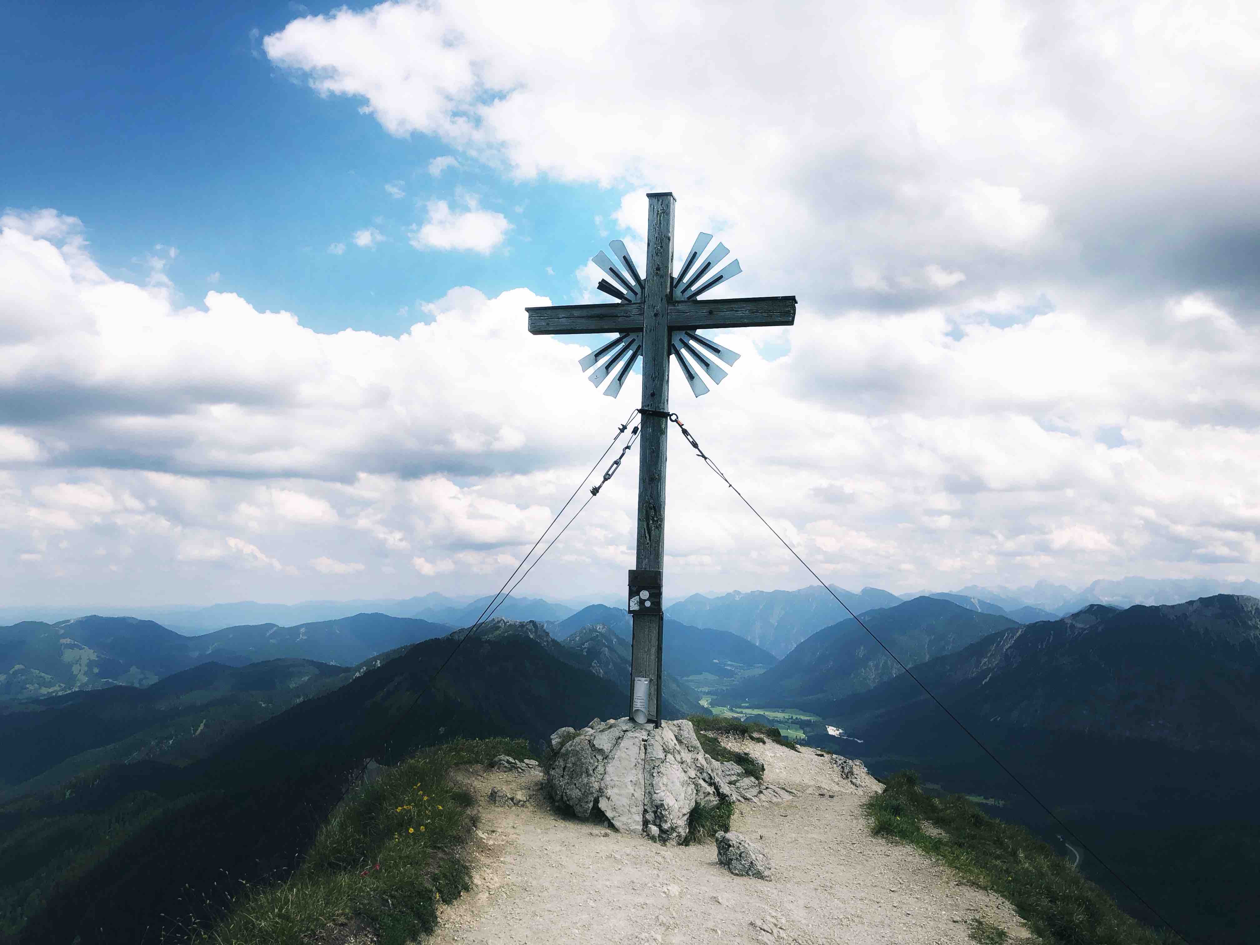
- I reached the summit of the Große Klammspitze at 12:15 and after 2h and 10 min walking time. At the summit I took a short break.
- This time I climbed down the east side of the summit in direction of the Feigenkopf. The ridge climb/path from the Große Klammspitze to the Feigenkopf is a difficult mountaineering route in (T4). Thus, more difficult and with more danger of falling than the normal route up to the Große klammspitze. There are bolts and loops for belay. However, an experienced mountaineer might go without a rope. (Alpine danger!)
- I reached approximately the halfway-point of the ridge, and stoped approximately in the middle between Große Klammspitze and Feigenkopf. Then I decided to climb back up to the Große Klammspitze and take the normal route back down to Linderhof.
- I hiked down from the Große Klammspitz summit to Linderhof on the same route that I took up.
- Once I reached the Brunnenkopfhuette I also hiked up to the Brunnenkopf summit. It takes only 10 to 15 min.
-
At 15:30 I was back down at the Linderhof parking area.
-
Next Time: I want to plan to go a long loop next time. Linderhof - Brunnenkopfhuette - Große Klammspitze - Feigenkopf - Bäckenalmsattel - Sägertalstraße - PlanseeLinderhof - Linderhof. This would be a long and difficult “Bergfahrt” but worthwhile. This route needs high endurance, knowledge and experience in mountaineering, and good conditions. For more details look at the website Ammergauer-Alpen-Große-Klammspitz-Bergfahrt.
- In total I hiked from 9:45am to 3:30pm. Distance: 17.24km. Total elevation: 1.310hm. Highest point: 1924 m. Lowest Point: 942 m