Zischgeles (3004m)
Stubaier Alpen

| Details | |
|---|---|
| Type: | Difficult Mountain Hike (T3) |
| Ascent: | 3.5h |
| Descent: | 3h |
| Elevation: | 1300 hm |
| Distance: | total 15km |
| Season: | June - October |
| Weather Forecast: | 1)wetter.com, 2)DAV-Bergwetter |
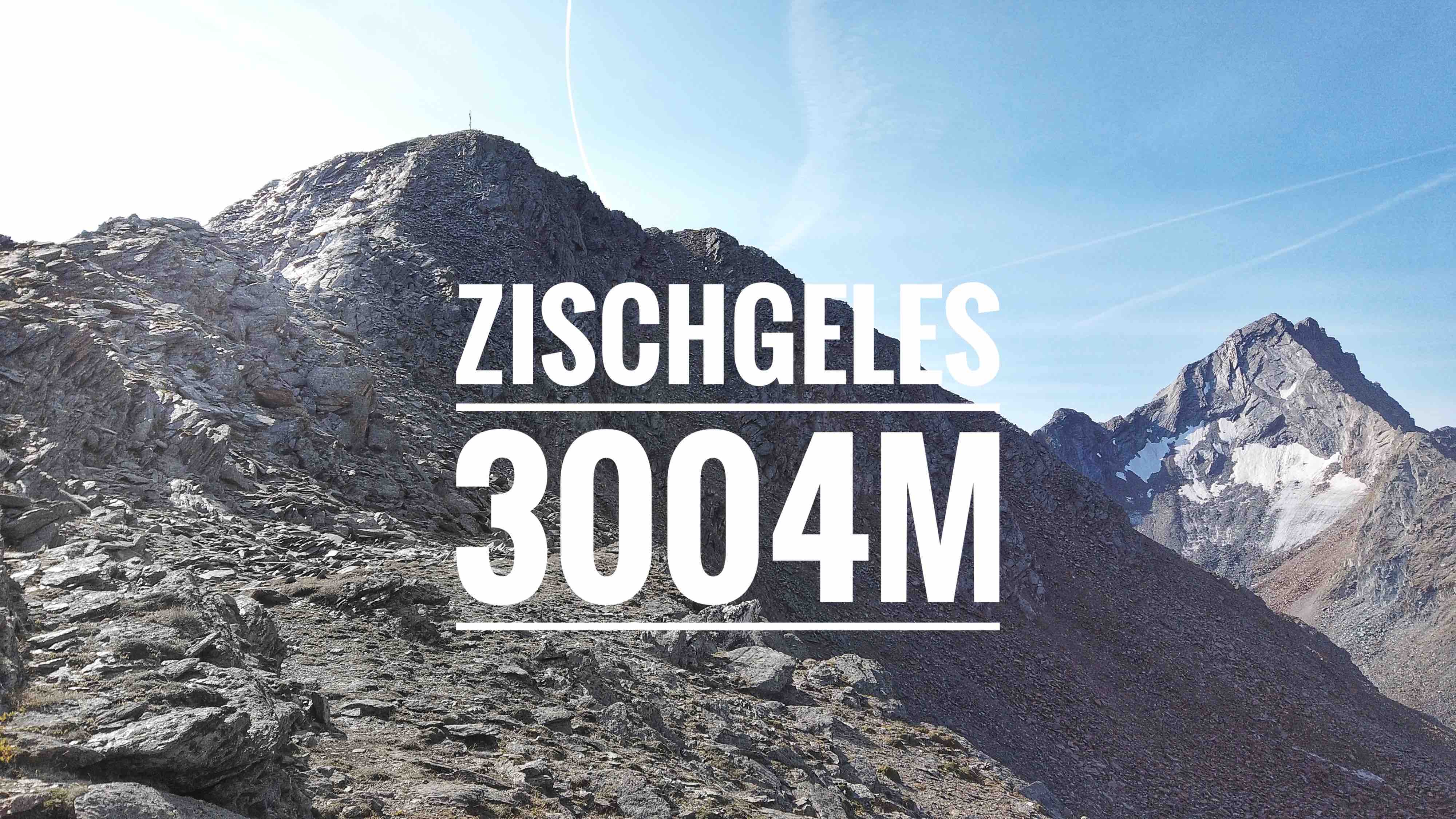
The Zischgeles (3004m) is a relatively easy 3000m peak located in the Stubaier Alpen. In the winter, the Zischgeles is a very popular destination for ski mountaineering whereas in the summer it is very quiet in the area. It is a 3000m high mountain that can be reached without glacier contact. Although it is an easier 3000m peak, the ascent should not be underestimated. Anyone wanting to summit this great peak will need a good fitness, experience in the alps, and be able to do a bit of ridge climbing with some exposed sections (I). The summit rewards with an incredible view to the surrounding giants, such as the majestic Grubenwand (3173m), the Schöntalspitze (3002m), and the Lisenser Fernerkogel (3299m).
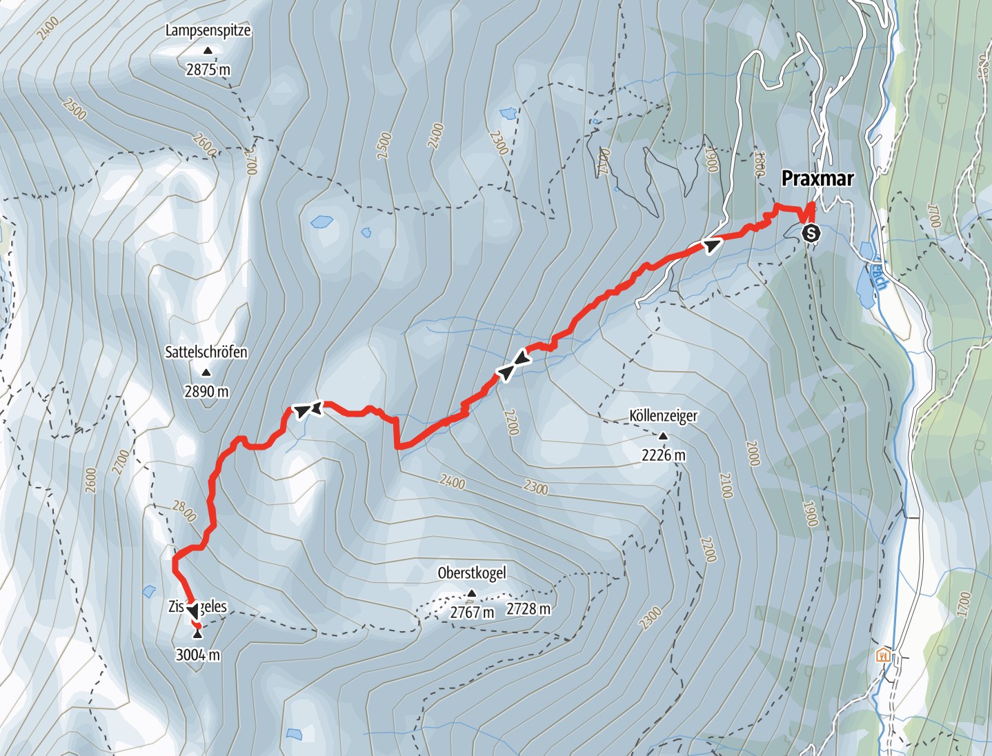
Route: Praxmar (1700m) - Route 31 - Zischgeles North Ridge - Zischgeles Summit (3004m) - Descent same as Ascent.
Alternatively: you can do a loop by taking the Route 32 on the ascent and descent on Route 32. Traverse of the Oberstkogel (Route 32b) requires a fair bit of climbing in II degree. You can bypass the Oberstkogel Traverse by staying on Route 32 and g round the Oberstkogel on its south side.
Map & Route Summary: online at alpenvereinaktiv
Video Description: YouTube: Zischgeles 3004m
Character: The route to the Zischgeles is a …
Drive to base: Address for car navigation: Praxmar, 6184, Austria. I parked at the Praxmar parking lot at the end of the road. (4€ for 24h; Sep 2020).
Ascent: …
Descent: Descent same as Ascent. Or a loop by combingin Route 32 and 31.
Logbook:
Hike 14.09.2020 - Zischgeles via Route 31
Route: Praxmar (1700m) - Route 31 - Zischgeles North Ridge - Zischgeles Summit (3004m) - Descent same as Ascent
Description:
- I parked at the parking lot at Praxmar. I stayed over night and slept in the car to start my tour early in the morning. (FYI: Camping is not allowed on this parking lot).
- 07:30am: I started hiking
- 10:45am: I reached the Summit of the Zischgeles (3004m). it took me about 3h15min.
- 11:00am: I started to descent.
- I took several breaks on the descent to enjoy the view.
- I saw a couple alpine marmot!
-
15:00 I was back down at the car.
- In total I hiked from 7:30am to 15:00. Distance: total 15 km. Total elevation gain: 1300hm. Highest point: 3004m. Lowest Point: 1670hm
