Hochschergen (1395m)
Ammergauer Alpen

| Details | |
|---|---|
| Ascent: | 1:15 h |
| Descent: | 1:00 h |
| Elevation: | 560 m vert. |
| Distance: | 11 km |
| Weather Forecast: | 1) wetter.com, 2) DAV-Bergwetter |
| Map: | online at alpenvereinaktiv |
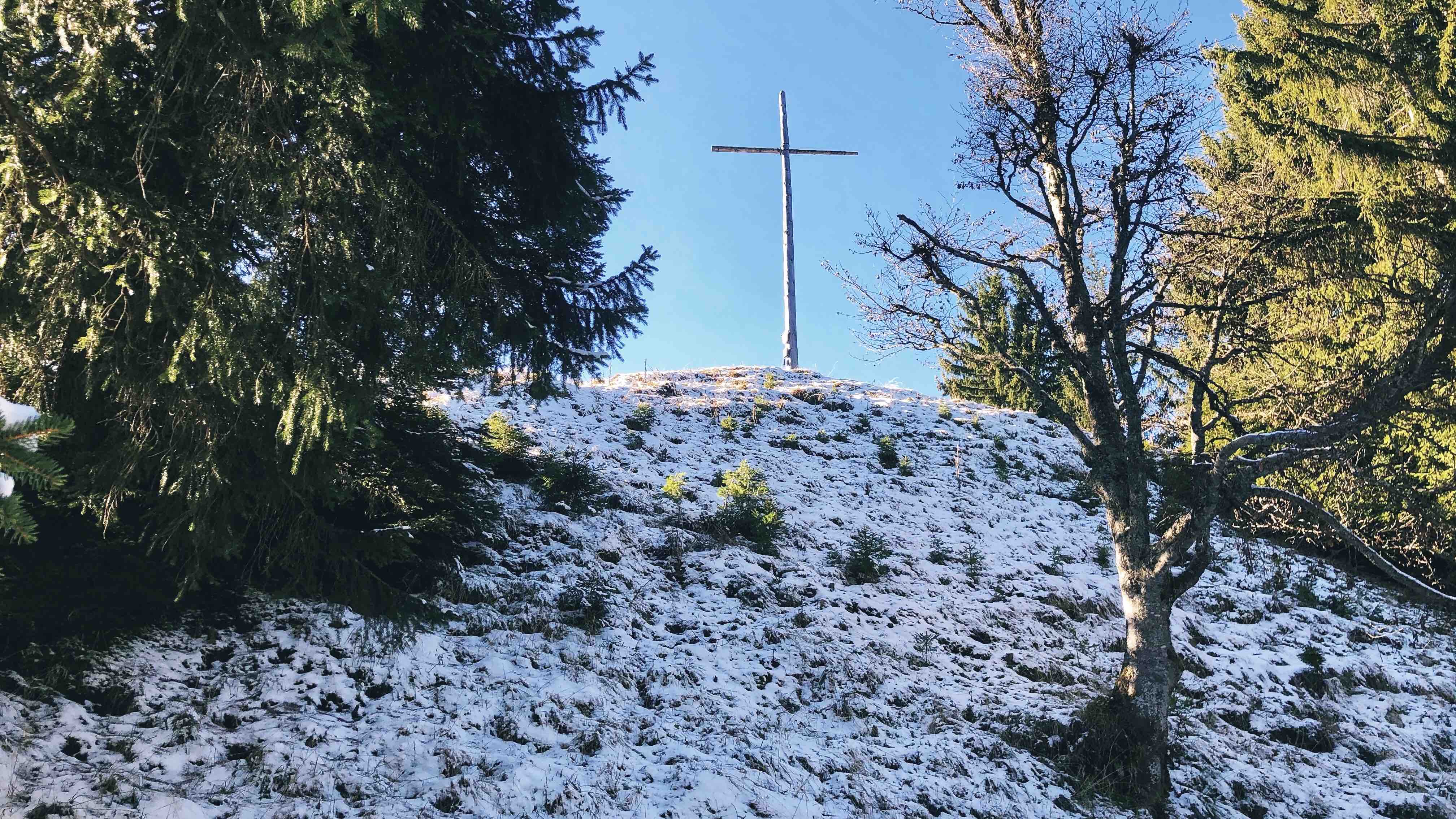
Character: The hike/trail-run to the Hochschergen is on wide forest roads and later on a forest trail. Overall an easy hike. It is a beautiful forest hike. The Hochschergen is a relatively quiet summit and not a very well-known hike. This might be due to the fact that the Hochschergen due to its thick forest has no great view to the surrounding mountains. despite of the lack of view the summit rewards with a beautiful, and quiet grassy summit with a tall cross.
I would recommend this as a trail run or as an alternative hike when other mountains are either too busy or too snowy.
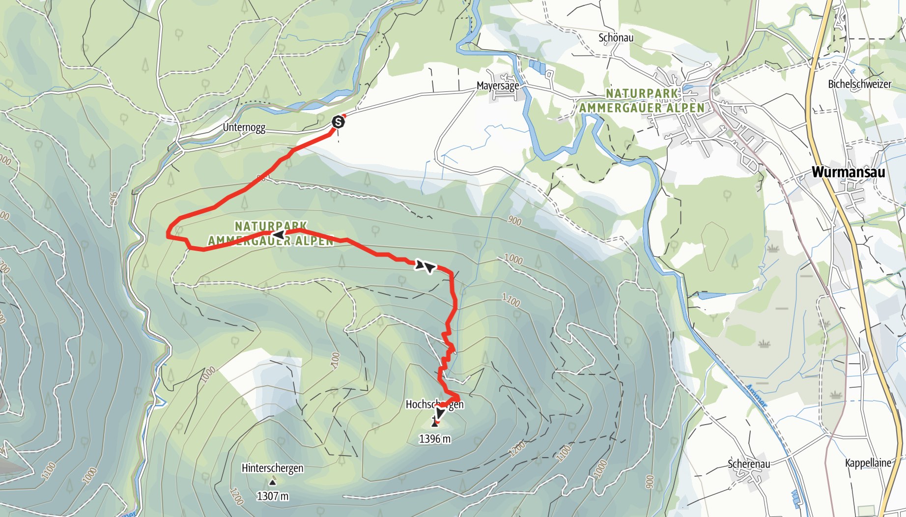
Drive to base: Drive to Unterammergau and then to Altenau. Next, drive to the Unternoggstraße. approx. 2.5km behind Altenau, there is a small hiking parking lot on the right of the road. Address for Navigation: either Altenau or Unternoggstraße.
Hike: From the Parking-lot we cross the street and follow a forest path that lead to south-west. We take the second (or third) possible right turn. at the end of the forrest road there is a short, slightly steeper trail that leads up through the forest. Soon you will reach the spacious grassy summit with a nice and tall cross.
Logbook:
Hike 22.11.2020 - Hochschergen
Description:
-
Lauren and I went for a trail run to the summit of the Hochschergen. All higher mountains were very snowy and due to the Coronavirus Restriction we did not want to do a popular hike. Most mountains were very busy that day. The hochschergen was a nice hike through the forest and with some snow on top. with the exception of a few people at the summit we were alone.
-
In total we hiked from 10:30am to 13:30. It took us 75min for the ascent. Distance: 11km. Total elevation gain: 570m.
