Bischof (2033m)
Estergebierge

| Details | |
|---|---|
| Ascent: | 3:30 h |
| Descent: | 3:00 h |
| Elevation: | 1440 m vert. |
| Distance: | 20 km |
| Season: | End of May - November. |
| Weather Forecast: | 1) wetter.com, 2) DAV-Bergwetter |
Character: Physically demanding mountain hike. The ascent is partly very steep, however, there are no particularly exposed sections. Good training and very rewarding views from the summit.
Video Description: YouTube
Drive to base: To Farchant; direction Bahnhofsstraße, then onto Mühldörflstraße. At the end of the road take a left to Kuhfluchtweg. Follow the road to the parking area of the Kuhflucht-wasserfall parkplatz. Alternatively, you could start from Oberau.
Approach: Approach is possible from Farchant (i.e. Ortsteil Mühldorf) or you could start from Oberau.
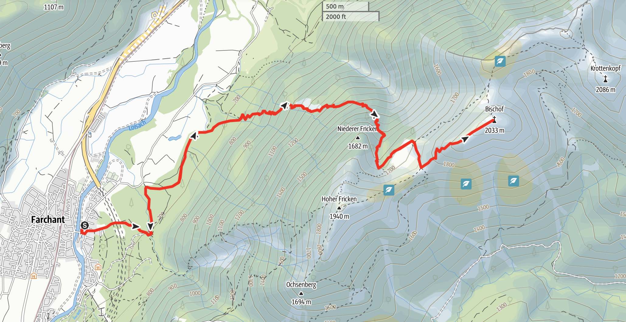
Hike: From Farchant hike at the bottom of the mountain north in the direction of Oberau. Once you reach a small pond called ‘Urspung’, you will find a path on your right (east) leading up into the forest. Follow this trail, called the ‘OberauerSteig’. At a hight of ca 1750hm you reach a saddle where a sign directs you west to the Hohen Fricken and east to the Bischof. From here you will have already a beautiful view into the surrounding mountain ranges. Follow the sign east to the Bischof. Here you will hike up a trail leading you through ‘Latschen’ (i.e. pine bushes) until you reach the summit cross.
Logbook:
Hike 25.10.2020 - Bischof
Route: Farchant - Oberausteig - Bischof - Descent same as Ascent
Map & Route Summary: 1) online at alpenvereinaktiv
Description:
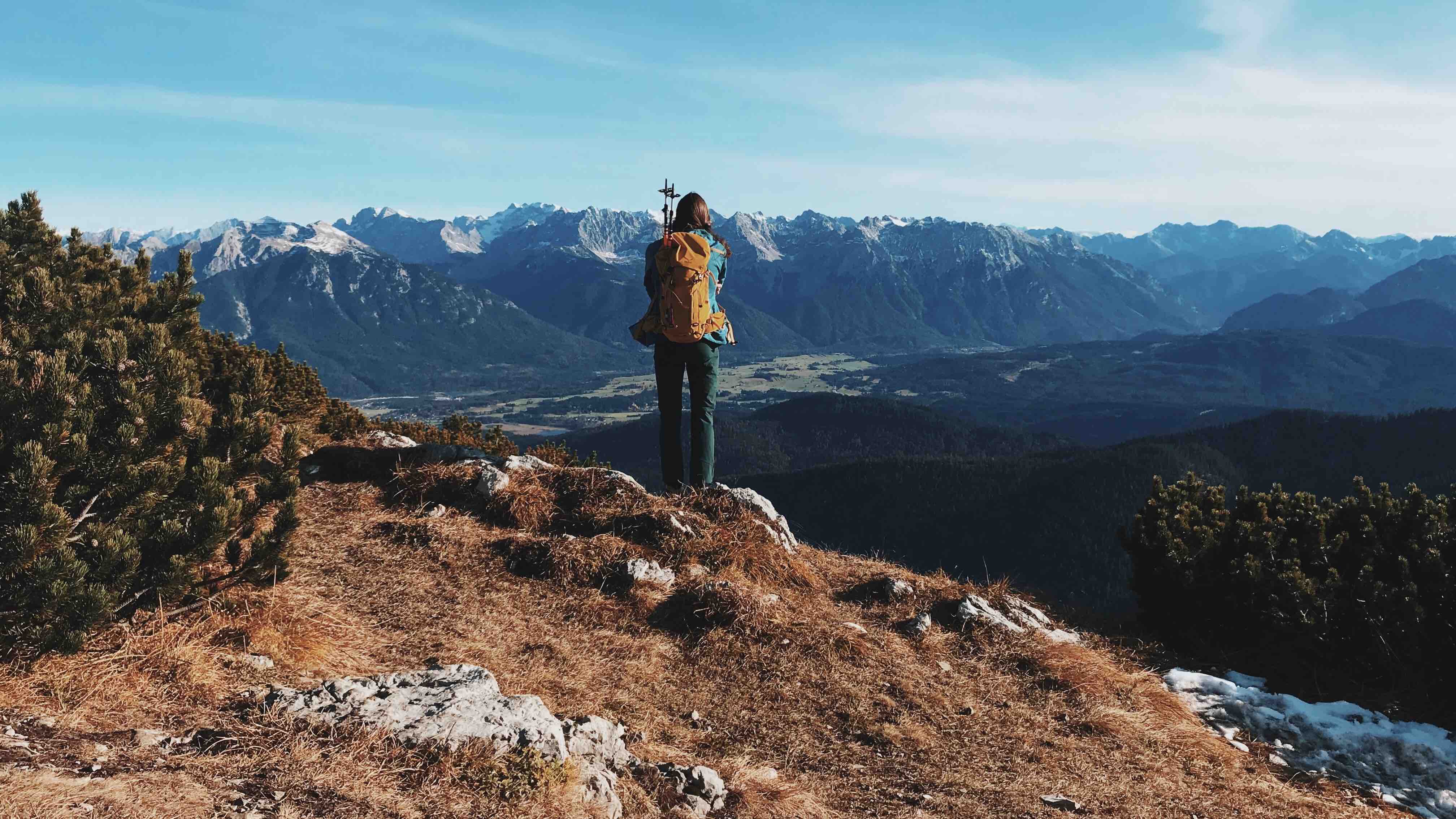
- A pretty exhausting hike, but Lauren and I had a lot of fun. The view was amazing and we were glad to have done another nice autumn hike.
- Conditions were good. It was muddy but mostly free of snow.
- I parked in Farchant, Ortsteil Mühldorf.
- 11:00 - we started hiking. Since it was a nice Autumn day we were able to start the hike that late. The Kuhflucht parking lot was full and we had to park on a side road. Kuhflucht was very busy, so, we decided to take the Oberausteig to the Bischof.
- 13:35 - we reached the saddle at a ca 1750hm where a sign directs you west to the Hohen Fricken and east to the Bischof. We took the path east to the summit of the Bischof.
- 14:30 - we reached the Bischof Summit Cross (2033m). It took us 3h30min to ascent
- we took the same route for our descent, i.e. via Oberausteig.
-
18:00 - we were back at the car. It was fully dark by now.
- In total we hiked from 11:00am to 18:00. 3h 30min for the ascent. Distance: 20km. Total elevation gain: 1.440m. Highest point: 2.033m. Lowest Point: 572m
