Jochberg (1565m)
Bayerische Voralpen

| Details | |
|---|---|
| Ascent: | 1:45 h |
| Descent: | 1:30 h |
| Elevation: | 750hm |
| Weather Forecast: | 1) wetter.com, 2) DAV-Bergwetter |
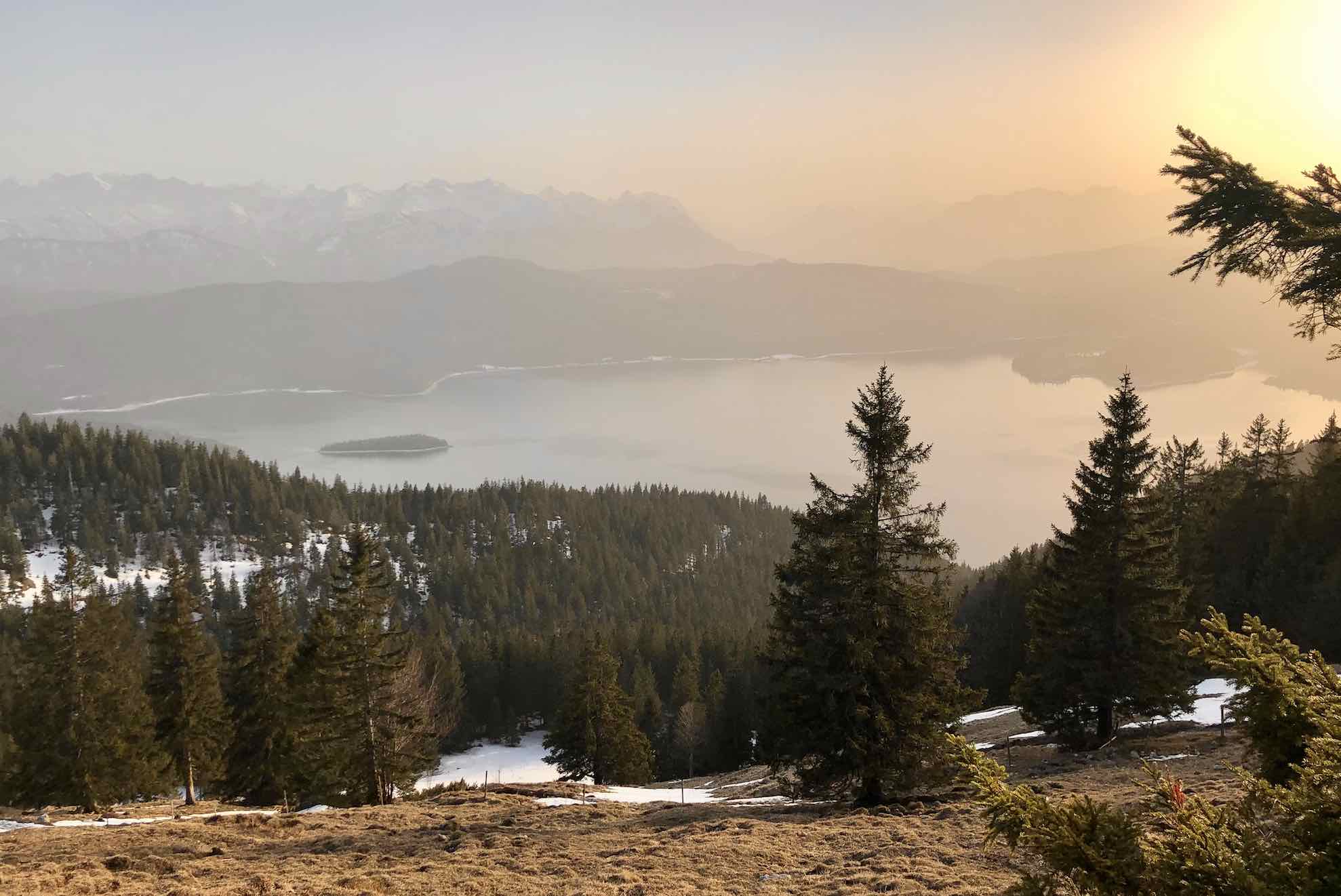
Character: Easy Hike/TrailRun, with no exposed sections, broad forest and field tracks. Highly popular, thus, not recommended for weekends, holidays, or other days when it can be expected that a lot of people will go hiking. On a quiet day, an early morning or late afternoon hike on a weekday, this can be a very nice hike/trail run. This hike is also a good choice when conditions are unclear since there are not really any severe dangers. The track is never too steep and there are no real risks of falling. The nature is beautiful and the view from the summit to Kochelsee, Walchensee, and the Karwendel counts to the best summit views in the Bayrischen Voralpen.
Drive to base: Drive to Kochel and follow the B11 from Kochel to direction Wallgau. Just behind the highest point of the street, there are parking spaces on the side of the road. e.g. parking space Kesselberg. If you reach the Walchesee you are drove to far. Parking spaces are limited. (For navigation system: Kesselbergstraße 7, 82431 Kochel )
Route: Parkplatz Kesselberg (ca. 850m) – Jochberg (1565m, 1:45h) – Jocheralm (1382m, 2:00h) – Ufer Walchensee (ca. 820hm, 3:15h) – Parkplatz Kesselberg (ca. 850m, 3:30h); Alternatively: Descent same as Ascent
Logbook:
24.02.2021 - Jochberg (1565m)
Description:
- Lauren and I parked on the side of the road close to the ‘Parkplatz Kesselberg’. We started the hike at 14:40. It took us exactly 1:30h to reach the summit; it was 16:12. We did not take long breaks on the way up. We were lucky and did not encounter a lot of people since it was a Wednesday afternoon. It was a surprisingly warm day in mid February with 17 degrees Celsius. The Mountain was almost clear of snow. We encountered only a few snow fields which however created no problems at all. The summit was snow free. After a nice break on the summit for ca 45min we started the descent at 17:00. At 18:13 we were back at the car.
- In total we were hiking from 14:40 to 18:13. Distance: 9km. Total elevation gain: 740hm.